

Desktop Wetland Pre-Assessments using Remote-Sensing & GIS
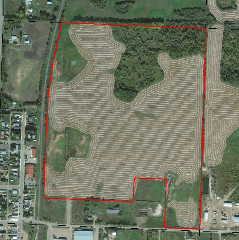
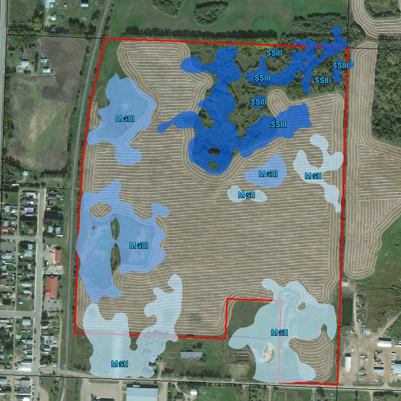
Alberta’s Wetland Policy requires the identification and classification of wetlands within a development area to be completed prior to construction. According to this policy, wetlands can be infilled for development; however, depending on the wetland classification, wetland-infill compensation fees must be paid to the Alberta Government. Typically, the identification and classification of wetlands requires a field-site visit during the non-winter months, which does not always align with construction planning schedules or associated budgets. Using satellite imagery and remote-sensing technology, Solstice has developed and verified a desktop wetland pre-assessment process that produces a highly accurate prediction of both wetland extent and classification without requiring a field visit. This approach greatly facilitates pre-planning and mitigates the cost associated with early planning stages. It also reduces costs for final planning as field efforts for mandatory ABWRET and WAIR reports can be spatially-focused based on high-resolution mapping.
Major issues that Solstice addressed:
Cost effective pre-planning for wetland identification and classification
Pre-planning environmental-risk assessments without field-site visits
Facilitate early planning decisions with minimal costs
Identify hydrological connectivity among identified wetlands
Key services provided:
Highly automated wetland location and classification prediction map
Ecological interpretation of wetland location and classification based on historical climate data
Hydrological connectivity modeling
Ranges of reporting detail from preliminary desktop assessment to full ABWRET and WAIR reports
Full environmental permitting inclusive of all due diligence and required assessments
Field verification and associated ecological assessments

